This year I decided to take an afternoon and head north toward the dam again. Because I hadn't done a lot of kayaking this year (the kayak hadn't been in the water until we got to Rainbow Lake) I wasn't sure how far I'd make it. I loaded up the boat with 2 bottles of water, and snacks and headed out. Spurred on by Soozie, one of our hosts, who mentioned the record time to the dam and back, I decided to see how far I could get. Start time was approximately 1:50pm.
The lake wasn't as calm as I would have liked - stirred up by a light breeze and a few power boats - but was not a it's worst. (I've paddled the length of Rainbow Lake when it had 2 foot waves as a storm blew in - not fun.) Good time was made to the bridge separating Rainbow Lake from Rainbow Narrows. Along the way I stopped to admire the flamingos in one yard.
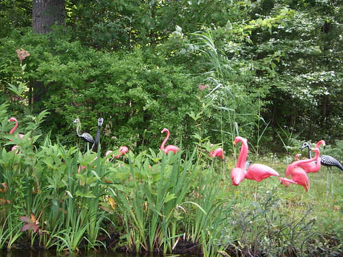
Note the skeleton flamingos (they're the black ones).
Finally, the bridge comes into view, marking the end of the first segment of the journey. Time check 2:30pm.
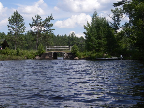
This bridge separates Rainbow Lake from Rainbow Narrows.
The water beyond the bridge was much calmer - probably because the narrowness prevents power boats from going very fast.
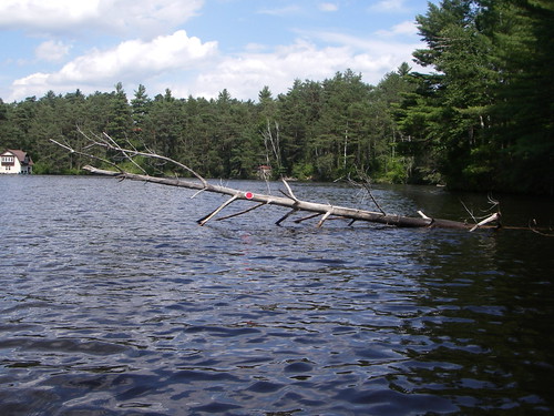
There are a lot of trees down along the shore. This particular tree sticks out into the channel as the lake widens. To help prevent accidents someone has helpfully added a reflector. This amuses me everytime I see it.
From here you pass a small bog, then the rope swing - known to everyone on the lake. Then under a couple of bridges. I was delayed at the second bridge, which is quite narrow, by four paddlers from the other direction.
After the second (third on the trip) bridge the water widens into the Kushaqua Narrows.
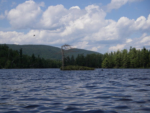
This windswept tree sits on a small island near the Buck Pond Campground. On my previous trip, I circled around this island before heading back. 3:06pm
I made a brief stop at an empty campsite (to the right of the small island) to stretch my legs before heading toward the dam. After winding my way around the next point the water opened up into Lake Kushaqua.

If I'm reading the map correctly this is Little Haystack mountain, which rises on the East side of the lake.
Kushaqua is a wide open lake. I saw a loon as I was headed toward the dam. The closer to the dam I got the rougher the water was. This is not entirely unexpected any time you are near a dam, waterfall or the like there is going to be at the least a more apparent current. The water from Rainbow Lake and Lake Kushaqua empties over the dam - it's used to control water level - and given all the wet this summer there was a significant amount of water heading over the dam.

I ventured up to the rocks at the right of the picture but didn't feel comfortable getting any closer to the dam. 3:38pm
As I headed back across Kushaqua the waves seemed to pick up strength. This may have been an actual change, or the fact that I was now heading into the wind and against the current. I paddled as close to the shore as I felt comfortable doing, as waves broke across the front of the kayak. This was not a fun part of the trip. It was hard paddling. I was very happy to get back to the entrance in the Kushaqua Narrows, and have the opportunity to take a breather.
I made another stop at the empty campsite to rest, and have my snack. I was very quickly joined by a dozen ducks - clear sign that too many people have been feeding them!
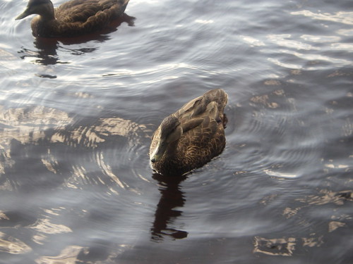
One of the hopeful ducks. I did not feed them.
After a 10 minute break I headed back to Owl Cabin.

The first of the two bridges between the Kushaqua Narrows and the Rainbow Narrows. 4:40pm
On the way back I came upon our hosts, Noel and Soozie, Laka (their dog) and a friend finishing up on the rope swing. I declined the tow they offered and headed home.
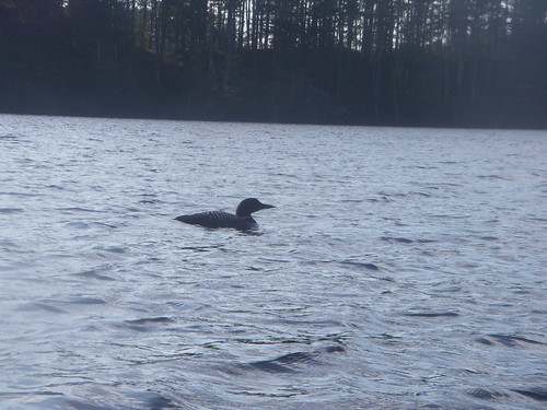
This loon kept me company as I headed down Rainbow Lake, but refused to move so that it wasn't backlit.

Finally back at our dock - and yes this picture is crooked. 6:00pm
I could have straightened it, but the crookedness is evidence of how truly tired I was.
Total trip time 4 hours and 10 minutes - or so.
It was a fun trip. If we get a nice calm day next year I may have to try the trip again to see if I can lower the total time.
(The times listed are the time stamps from the photos.)
Stay tuned for Part 3.
